
File:Latvia relief location map.svg

Size of this PNG preview of this SVG file: 800 × 503 pixels. Other resolutions: 320 × 201 pixels | 640 × 403 pixels | 1,024 × 644 pixels | 1,280 × 805 pixels | 2,560 × 1,611 pixels | 1,305 × 821 pixels.
Original file (SVG file, nominally 1,305 × 821 pixels, file size: 613 KB)
| This is a file from the Wikimedia Commons. Information from its description page there is shown below. Commons is a freely licensed media file repository. You can help. |
Summary
| Description |
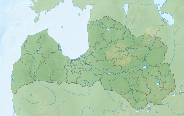
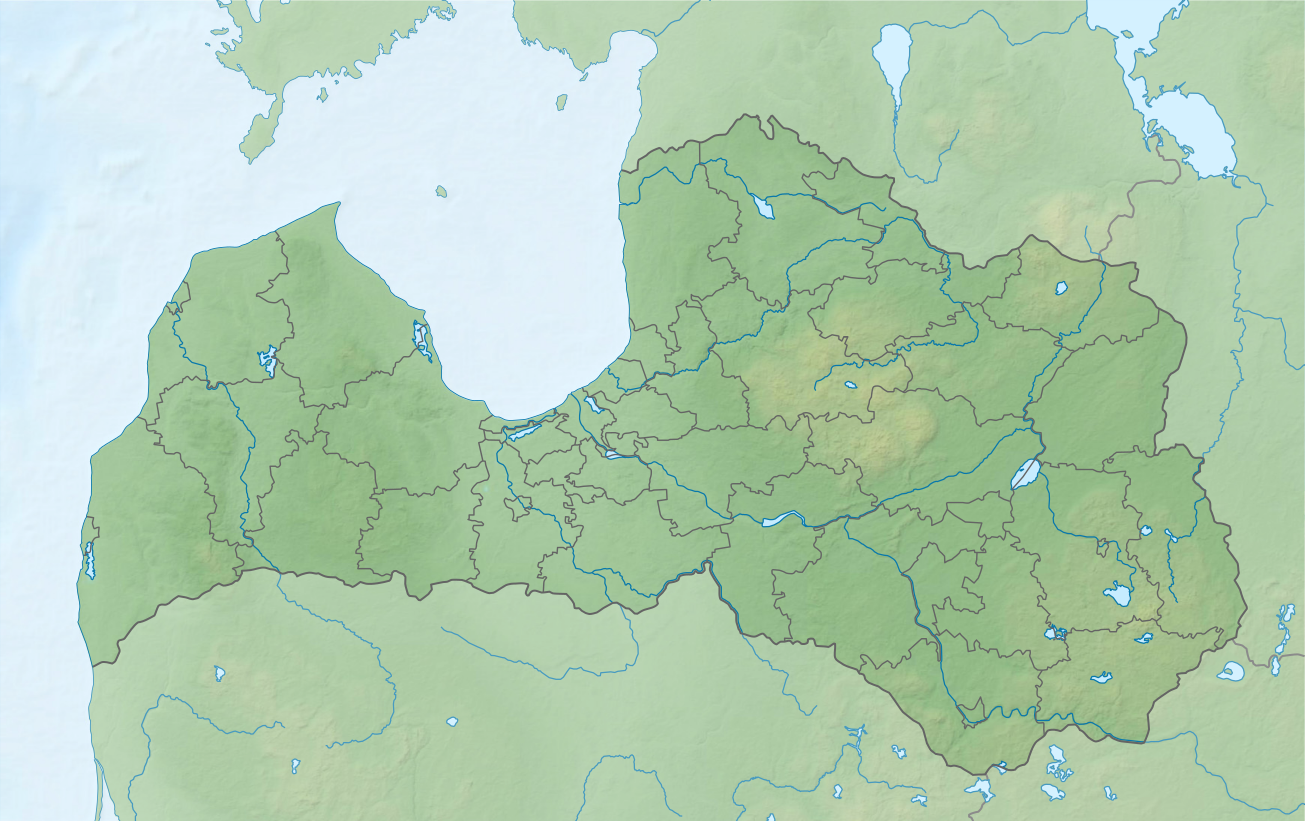
Deutsch: Positionskarte von Lettland, quadratische Plattkarte, Streckung in Nord-Süd-Richtung: 170 %
English: Location map of Latvia, equirectangular projection, N/S stretching: 170 %
Latviešu: Latvijas novadu karte
Geographic limits of the map:
|
||
| Date | |||
| Source |
own work, using |
||
| Author | Maximilian Dörrbecker (Chumwa) | ||
| Permission (Reusing this file) |
I, the copyright holder of this work, hereby publish it under the following licenses:
This file is licensed under the Creative Commons Attribution-Share Alike 3.0 Unported license.
You may select the license of your choice. |


|
This map has been made or improved in the German Kartenwerkstatt (Map Lab). You can propose maps to improve as well.
|
File history
Click on a date/time to view the file as it appeared at that time.
| Date/Time | Thumbnail | Dimensions | User | Comment | |
|---|---|---|---|---|---|
| current | 13:59, 18 August 2021 | | 1,305 × 821 (613 KB) | Obivan Kenobi | +Lake Liepāja |
| 08:39, 16 August 2021 |  | 1,305 × 821 (612 KB) | Obivan Kenobi | New boundaries of administrative divisions from 1 July 2021. Inland waters as on the {{F|Latvia adm location map.svg}} | |
| 13:59, 2 June 2011 |  | 1,305 × 821 (600 KB) | Chumwa | Ausland abgedimmt | |
| 13:44, 2 June 2011 |  | 1,305 × 821 (582 KB) | Chumwa | == {{int:filedesc}} == {{Information |Description= {{de|Positionskarte von Lettland, quadratische Plattkarte, Streckung in Nord-Süd-Richtung: 170 %}} {{en|Location map of Latvia, equirectangular projection, N/S stretching: |
File usage
The following pages on the English Wikipedia use this file (pages on other projects are not listed):
Global file usage
The following other wikis use this file:
- Usage on als.wikipedia.org
- Usage on be.wikipedia.org
- Usage on ca.wikipedia.org
- Usage on de.wikipedia.org
- Usage on es.wikipedia.org
- Usage on fr.wikipedia.org
- Riga
- Liepāja
- Daugavpils
- Golfe de Riga
- Lac Lubans
- Ventspils
- Jelgava
- Parc national de la Gauja
- Jūrmala
- Dobele
- Rēzekne
- Banque de Lettonie
- Tukums
- Talsi
- Ogre (Lettonie)
- Cēsis
- Bauska
- Valmiera
- Kuldīga
- Modèle:Géolocalisation/Lettonie
- Jēkabpils
- Gaiziņkalns
- Projet:Cartographie/Géolocalisation/Maintenance/Images des pays
- Krāslava
View more global usage of this file.